North America
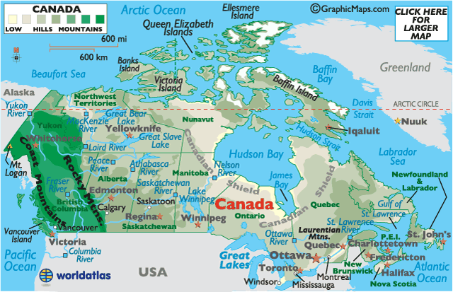
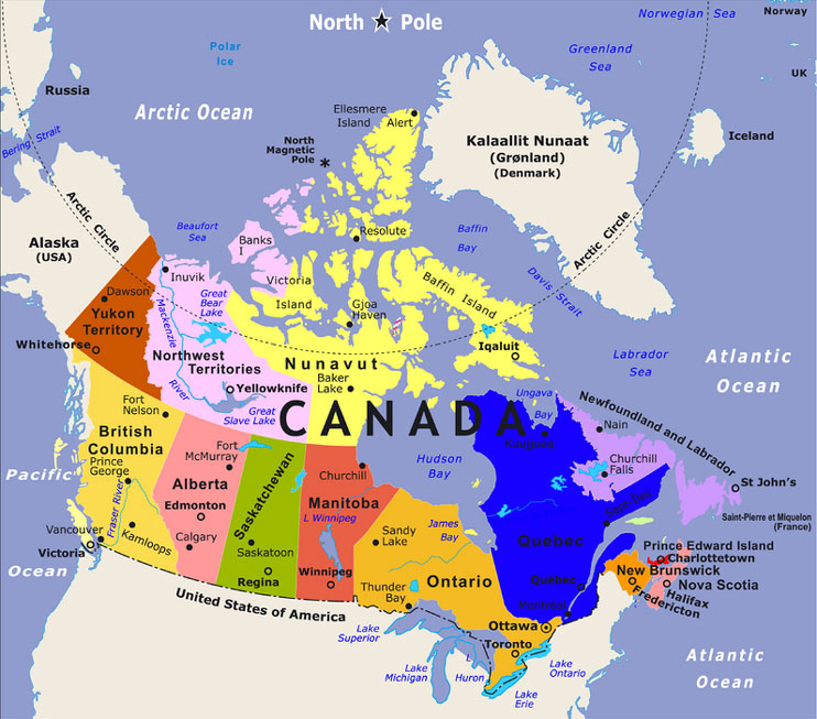
The North American continent includes the countries of the United States of America, Canada, and Mexico as well as the countries of Central America. However for this unit we are going to focus on the three largest countries. These three counties share many land features such as the Rocky Mountains that stretch across the western parts of the US and Canada and the Great Lakes that we also share with Canada. With Mexico, we share the Rio Grande, the Gulf of Mexico and the Gulf of California as well as several other land features.
While all three of these counties have similar governments with representation being at the core and all three have a free enterprise system that drives their economy, the US and Canada have more robust economies than Mexico. And Canada, they are our largest trading partner with an exchange of over 1 billon dollars each day crossing our northern boarder.
In this unit we will study the history, geography, culture, physical features, governments, economies, and religions of each of these countries.


